-40%
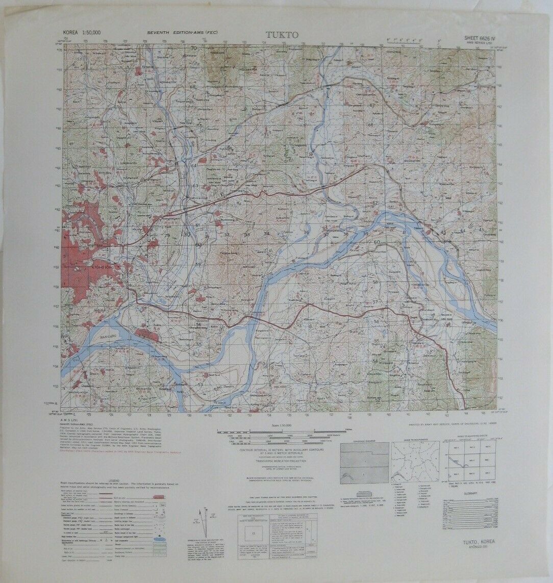
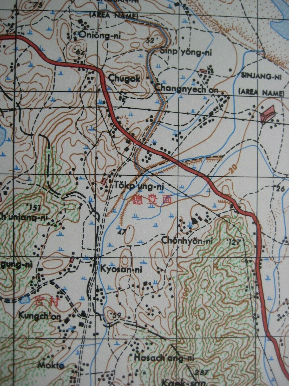
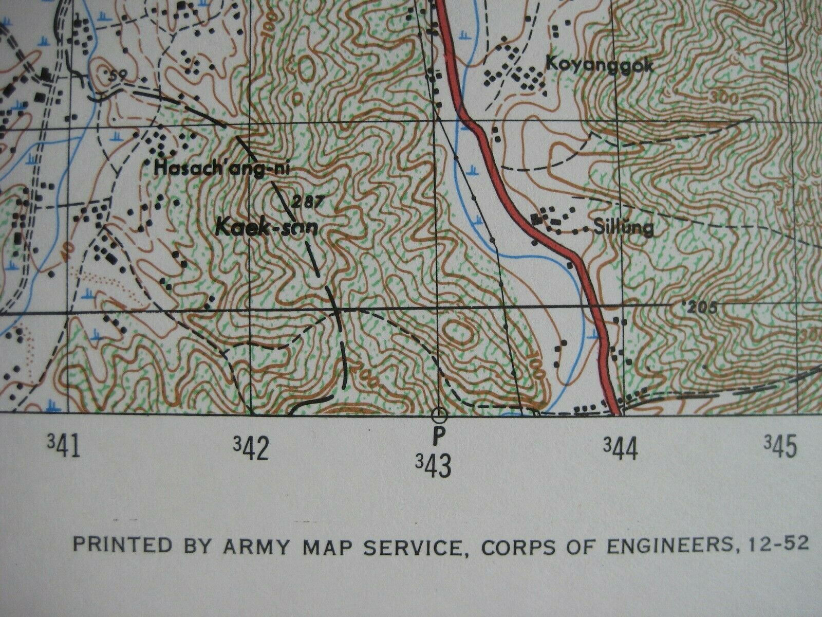
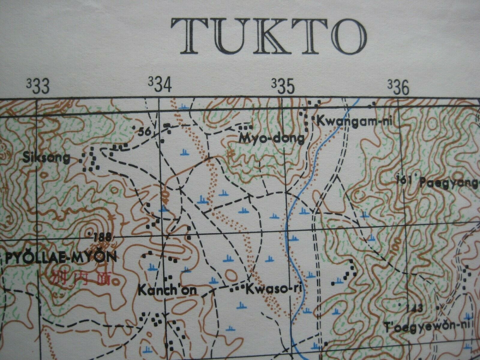
1952 US Army Korean War Topo Map SEOUL TUKTO HAN RIVER Gyeongin Line Railway
$ 26.39
- Description
- Size Guide
Description
Original 1952 color lithographed topographical map, prepared by the Army Map Service, Corps of Engineers, U.S. Army, Washington, D.C. during the Korean War, more than 68 years ago.The map is drawn on a scale of 1:50,000, and the image area measures 37 x 44.1 cm [14½" x 17½"], on a sheet measuring 22" x 23¼".
The coverage area is bounded by longitude 127°00'10.4" E to 127°15'10.4" E and latitude 37°30' N to 37°40' N.
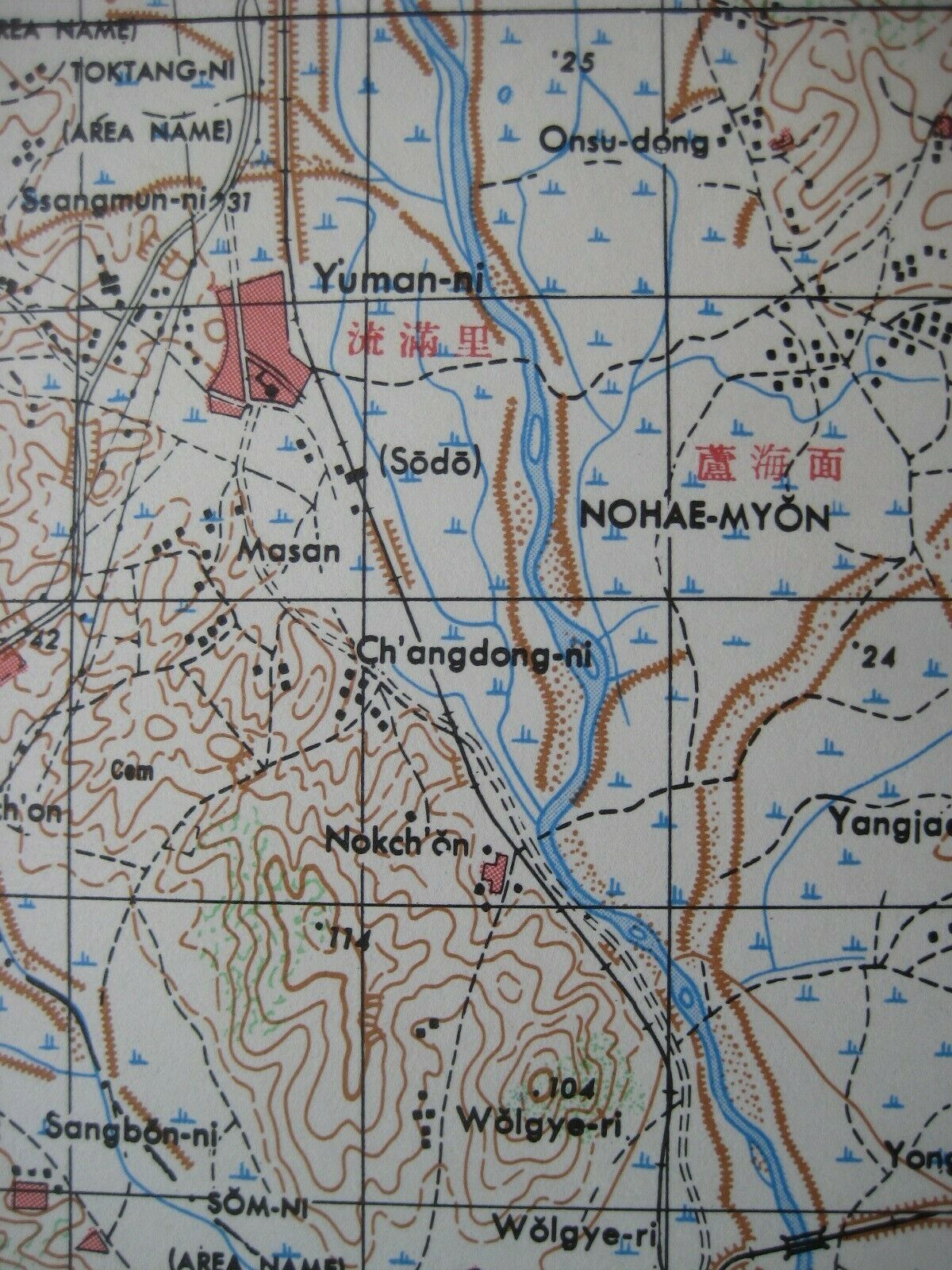
Details include roads, railways, cities, towns, settlements, villages, spot elevations, and contours, at intervals of 20 meters.
The map is titled
Tukto, Korea, Kyonggi-do
and is identified as the Seventh Edition of Sheet 6626 IV, printed by Army Map Service, Corps of Engineers, 12-52.
Condition:
It is in very good, lightly used condition, bright and clean, with a few minor crimps along the upper edge and
no
rips, tears, or writing. It is blank on the back, with no printing on the reverse side. Please see the scans and feel free to ask any questions.
The map has never been folded, and we will ship it to you carefully rolled in a sturdy cardboard tube.
This is an
original
, authentic 1952 map,
not
a reproduction or modern reprint, and it is fully guaranteed to be genuine.
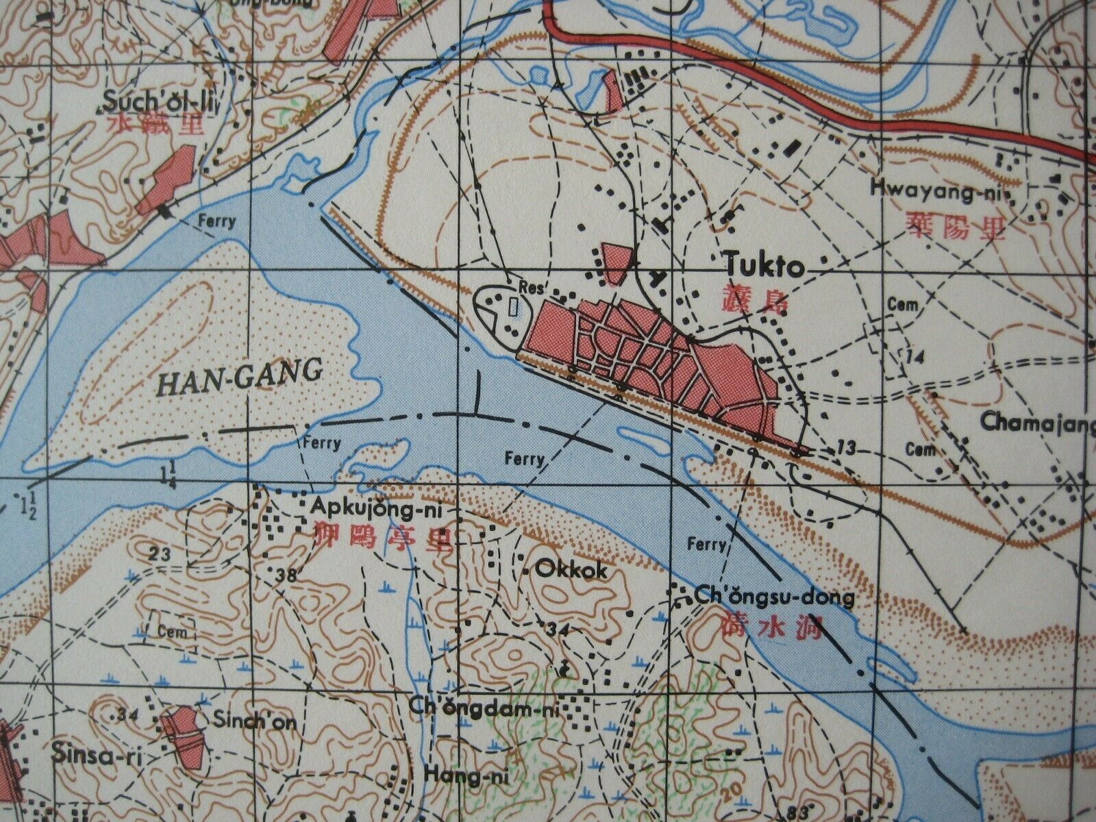
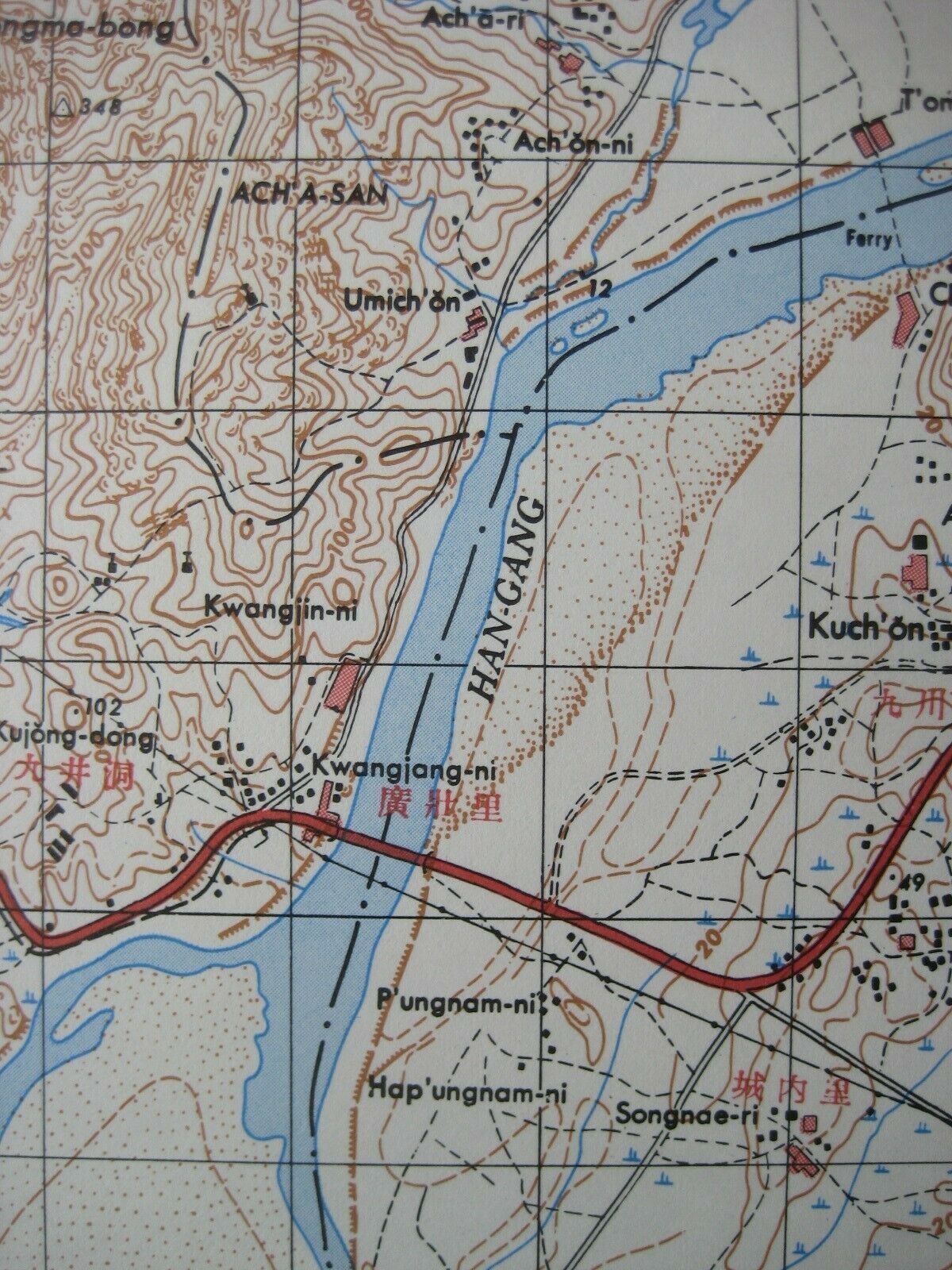
The coverage area includes the eastern portion of Seoul, labeled "Kyongsong" on the map. Other named places and features include Kumgong-ni, Pangmi-ri, Tokso-ri (Deokso-ri), the Gyeongin Main Line, Han River, and Tukto.
This map was published during the Korea War, shortly after the recapture of Seoul by United Nations forces and the successful defense of the badly damaged city during the Chinese Spring Offensive in April 1951.
We may also have a nice companion to this map available in our eBay store — a 1952 US Army topo map of Incheon and vicinity. It is listed as item # 274813722302. If you'd like to take a look, simply click
here
.
Buy with confidence! We are always happy to combine shipping on the purchase of multiple items — just make sure to pay for everything at one time, not individually.
Powered by SixBit's eCommerce Solution
